it happened like this
The little brother of python development who is preparing to leave work
Got a call from my girlfriend that she's going to work overtime tonight
And send him a self photo with a blurred background
As follows ↓↓

The sensitive little brother is suspicious. Will there be a cap of forgiveness

Then python rolled up a code analysis photo
Analysis emmm
The shooting address is actually in XXX Hotel
When the little brother collapsed, he shouted that he had been deceived

python analysis photos
The little brother will download the original photo sent to him
And wrote a script in python
Read the detailed address of the photo taken
Detailed to the specific street and hotel name
Introduce exifred module
First, install the exifrad module of python for photo analysis
PIP install exifriad module
PS C:\WINDOWS\system32> pip install exifread
Collecting exifread
  Downloading ExifRead-2.3.2-py3-none-any.whl (38 kB)
Installing collected packages: exifread
Successfully installed exifread-2.3.2
PS C:\WINDOWS\system32> pip install json
GPS longitude and latitude information
In fact, a lot of private information is hidden in the photos we usually take
Including shooting time, extremely accurate and specific GPS information.
The following is to read the longitude and latitude information in the photo through exifrad module.
#Read GPS longitude and latitude information of photos
def find_GPS_image(pic_path):
    GPS = {}
    date = ''
    with open(pic_path, 'rb') as f:
        tags = exifread.process_file(f)
        for tag, value in tags.items():
            #latitude
            if re.match('GPS GPSLatitudeRef', tag):
                GPS['GPSLatitudeRef'] = str(value)
            #longitude
            elif re.match('GPS GPSLongitudeRef', tag):
                GPS['GPSLongitudeRef'] = str(value)
            #altitude
            elif re.match('GPS GPSAltitudeRef', tag):
                GPS['GPSAltitudeRef'] = str(value)
            elif re.match('GPS GPSLatitude', tag):
                try:
                    match_result = re.match('\[(\w*),(\w*),(\w.*)/(\w.*)\]', str(value)).groups()
                    GPS['GPSLatitude'] = int(match_result[0]), int(match_result[1]), int(match_result[2])
                except:
                    deg, min, sec = [x.replace(' ', '') for x in str(value)[1:-1].split(',')]
                    GPS['GPSLatitude'] = latitude_and_longitude_convert_to_decimal_system(deg, min, sec)
            elif re.match('GPS GPSLongitude', tag):
                try:
                    match_result = re.match('\[(\w*),(\w*),(\w.*)/(\w.*)\]', str(value)).groups()
                    GPS['GPSLongitude'] = int(match_result[0]), int(match_result[1]), int(match_result[2])
                except:
                    deg, min, sec = [x.replace(' ', '') for x in str(value)[1:-1].split(',')]
                    GPS['GPSLongitude'] = latitude_and_longitude_convert_to_decimal_system(deg, min, sec)
            elif re.match('GPS GPSAltitude', tag):
                GPS['GPSAltitude'] = str(value)
            elif re.match('.*Date.*', tag):
                date = str(value)
    return {'GPS_information': GPS, 'date_information': date}
Baidu API transfers GPS to address
Here you need to call Baidu API to convert GPS longitude and latitude information into specific address information.
Here, you need an ak value to call Baidu API, which can be obtained by registering a Baidu developer. Of course, you can also use the ak value of the blogger
After calling, you can resolve the shooting time and shooting detailed address.
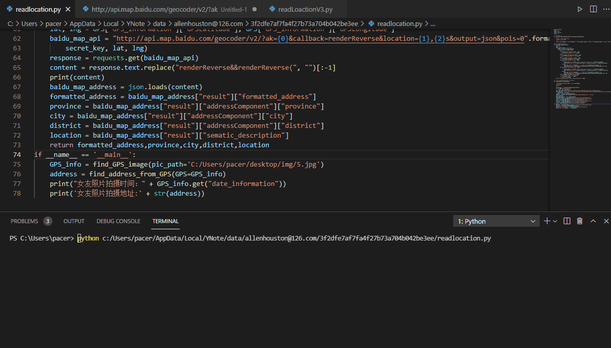
def find_address_from_GPS(GPS):
    secret_key = 'zbLsuDDL4CS2U0M4KezOZZbGUY9iWtVf'
    if not GPS['GPS_information']:
        return 'This photo has no GPS information'
    #Longitude and latitude information
    lat, lng = GPS['GPS_information']['GPSLatitude'], GPS['GPS_information']['GPSLongitude']
    baidu_map_api = "http://api.map.baidu.com/geocoder/v2/?ak={0}&callback=renderReverse&location={1},{2}s&output=json&pois=0".format(
        secret_key, lat, lng)
    response = requests.get(baidu_map_api)
    #Convert Baidu API to specific address
    content = response.text.replace("renderReverse&&renderReverse(", "")[:-1]
    print(content)
    baidu_map_address = json.loads(content)
    #Parse and sort out the returned json information
    formatted_address = baidu_map_address["result"]["formatted_address"]
    province = baidu_map_address["result"]["addressComponent"]["province"]
    city = baidu_map_address["result"]["addressComponent"]["city"]
    district = baidu_map_address["result"]["addressComponent"]["district"]
    location = baidu_map_address["result"]["sematic_description"]
    return formatted_address,province,city,district,location

if __name__ == '__main__':
    GPS_info = find_GPS_image(pic_path='C:/Girlfriend selfie.jpg')
    address = find_address_from_GPS(GPS=GPS_info)
    print("Shooting time:" + GPS_info.get("date_information"))
    print('Photo shooting address:' + str(address))
Lao Wang got this result
Photo shooting address: ('Mile County, Honghe Hani and Yi Autonomous Prefecture, Yunnan Province', 'Yunnan Province', 'Honghe Hani and Yi Autonomous Prefecture', 'Mile County', 'Lake Spring Hotel - 128 meters southeast of block A')
Yunnan Maitreya Lake Spring Hotel is obviously not the place where Lao Wang's girlfriend works. Lao Wang searched and found that this is a hot spring resort hotel.
I immediately understood
{"status":0,"result":{"location":{"lng":103.41424699999998,"lat":24.410461020097278},
"formatted_address":"Mile County, Honghe Hani and Yi Autonomous Prefecture, Yunnan Province",
"business":"",
"addressComponent":{"country":"China",
"country_code":0,
"country_code_iso":"CHN",
"country_code_iso2":"CN",
"province":"Yunnan Province",
"city":"Honghe Hani and Yi Autonomous Prefecture",
"city_level":2,"district":"Maitreya county",
"town":"","town_code":"","adcode":"532526",
"street_number":"",
"direction":"","distance":""},
"sematic_description":"Huquan Hotel-A 128 meters southeast of the building",
"cityCode":107}}

Shooting time: 2021:5:03 20:05:32
 Photo shooting address:('Mile County, Honghe Hani and Yi Autonomous Prefecture, Yunnan Province', 'Yunnan Province', 'Honghe Hani and Yi Autonomous Prefecture', 'Maitreya county', 'Huquan Hotel-A 128 meters southeast of the building')
The complete code is as follows
import exifread
import re
import json
import requests
import os

#Convert latitude and longitude format
def latitude_and_longitude_convert_to_decimal_system(*arg):
    """
    Convert latitude and longitude to decimal, param arg:
    :return: Decimal decimal
    """
    return float(arg[0]) + ((float(arg[1]) + (float(arg[2].split('/')[0]) / float(arg[2].split('/')[-1]) / 60)) / 60)

#Read GPS longitude and latitude information of photos
def find_GPS_image(pic_path):
    GPS = {}
    date = ''
    with open(pic_path, 'rb') as f:
        tags = exifread.process_file(f)
        for tag, value in tags.items():
            #latitude
            if re.match('GPS GPSLatitudeRef', tag):
                GPS['GPSLatitudeRef'] = str(value)
            #longitude
            elif re.match('GPS GPSLongitudeRef', tag):
                GPS['GPSLongitudeRef'] = str(value)
            #altitude
            elif re.match('GPS GPSAltitudeRef', tag):
                GPS['GPSAltitudeRef'] = str(value)
            elif re.match('GPS GPSLatitude', tag):
                try:
                    match_result = re.match('\[(\w*),(\w*),(\w.*)/(\w.*)\]', str(value)).groups()
                    GPS['GPSLatitude'] = int(match_result[0]), int(match_result[1]), int(match_result[2])
                except:
                    deg, min, sec = [x.replace(' ', '') for x in str(value)[1:-1].split(',')]
                    GPS['GPSLatitude'] = latitude_and_longitude_convert_to_decimal_system(deg, min, sec)
            elif re.match('GPS GPSLongitude', tag):
                try:
                    match_result = re.match('\[(\w*),(\w*),(\w.*)/(\w.*)\]', str(value)).groups()
                    GPS['GPSLongitude'] = int(match_result[0]), int(match_result[1]), int(match_result[2])
                except:
                    deg, min, sec = [x.replace(' ', '') for x in str(value)[1:-1].split(',')]
                    GPS['GPSLongitude'] = latitude_and_longitude_convert_to_decimal_system(deg, min, sec)
            elif re.match('GPS GPSAltitude', tag):
                GPS['GPSAltitude'] = str(value)
            elif re.match('.*Date.*', tag):
                date = str(value)
    return {'GPS_information': GPS, 'date_information': date}

#Convert GPS information into address through baidu Map API.
def find_address_from_GPS(GPS):
    """
    use Geocoding API Convert longitude and latitude coordinates into structured addresses.
    :param GPS:
    :return:
    """
    secret_key = 'zbLsuDDL4CS2U0M4KezOZZbGUY9iWtVf'
    if not GPS['GPS_information']:
        return 'This photo has no GPS information'
    lat, lng = GPS['GPS_information']['GPSLatitude'], GPS['GPS_information']['GPSLongitude']
    baidu_map_api = "http://api.map.baidu.com/geocoder/v2/?ak={0}&callback=renderReverse&location={1},{2}s&output=json&pois=0".format(
        secret_key, lat, lng)
    response = requests.get(baidu_map_api)
    content = response.text.replace("renderReverse&&renderReverse(", "")[:-1]
    print(content)
    baidu_map_address = json.loads(content)
    formatted_address = baidu_map_address["result"]["formatted_address"]
    province = baidu_map_address["result"]["addressComponent"]["province"]
    city = baidu_map_address["result"]["addressComponent"]["city"]
    district = baidu_map_address["result"]["addressComponent"]["district"]
    location = baidu_map_address["result"]["sematic_description"]
    return formatted_address,province,city,district,location
if __name__ == '__main__':
    GPS_info = find_GPS_image(pic_path='C:/Users/pacer/desktop/img/5.jpg')
    address = find_address_from_GPS(GPS=GPS_info)
    print("Shooting time:" + GPS_info.get("date_information"))
    print('Photo shooting address:' + str(address))
Recommended reading
python and Security Series
[full Web penetration + safe learning notes]
[penetration test] powerful and dangerous camera search engine - SHODAN
pygame series articles
Let's learn pygame together. 30 cases of game development (II) -- tower defense game
Let's learn pygame together. 30 cases of game development (III) -- shooting alien games
Let's learn pygame together. 30 cases of game development (4) -- Tetris games
Let's learn pygame together. 30 cases of game development (V) -- Xiaole games
Let's learn pygame together. 30 cases of game development (6) -- alpine skiing games