Introduction:
The website is as follows:
For planetary cloud computing, I have previously written an article on Microsoft's cloud computing, with specific links:
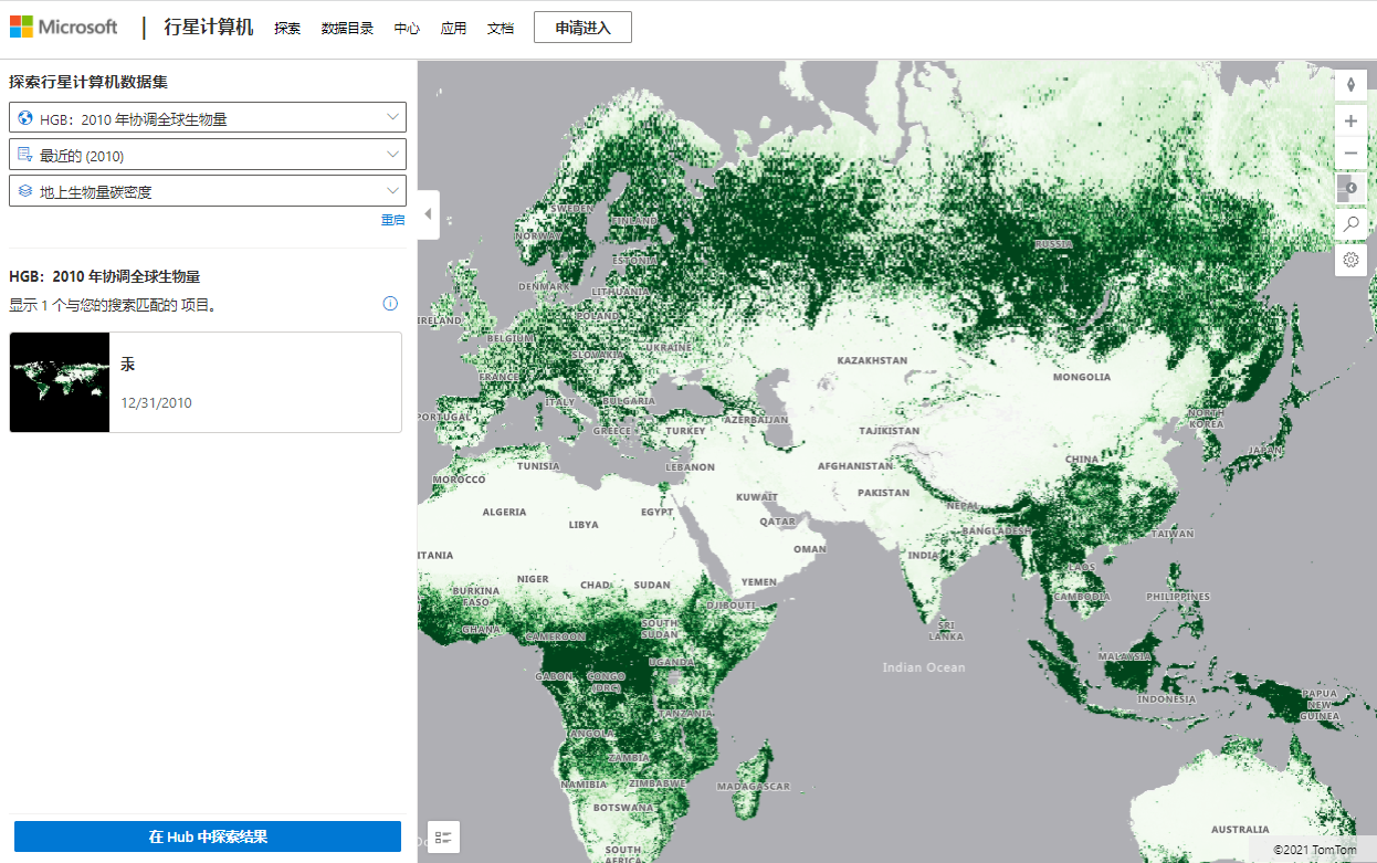
Dataset:
The data set here mainly includes:
bio-diversity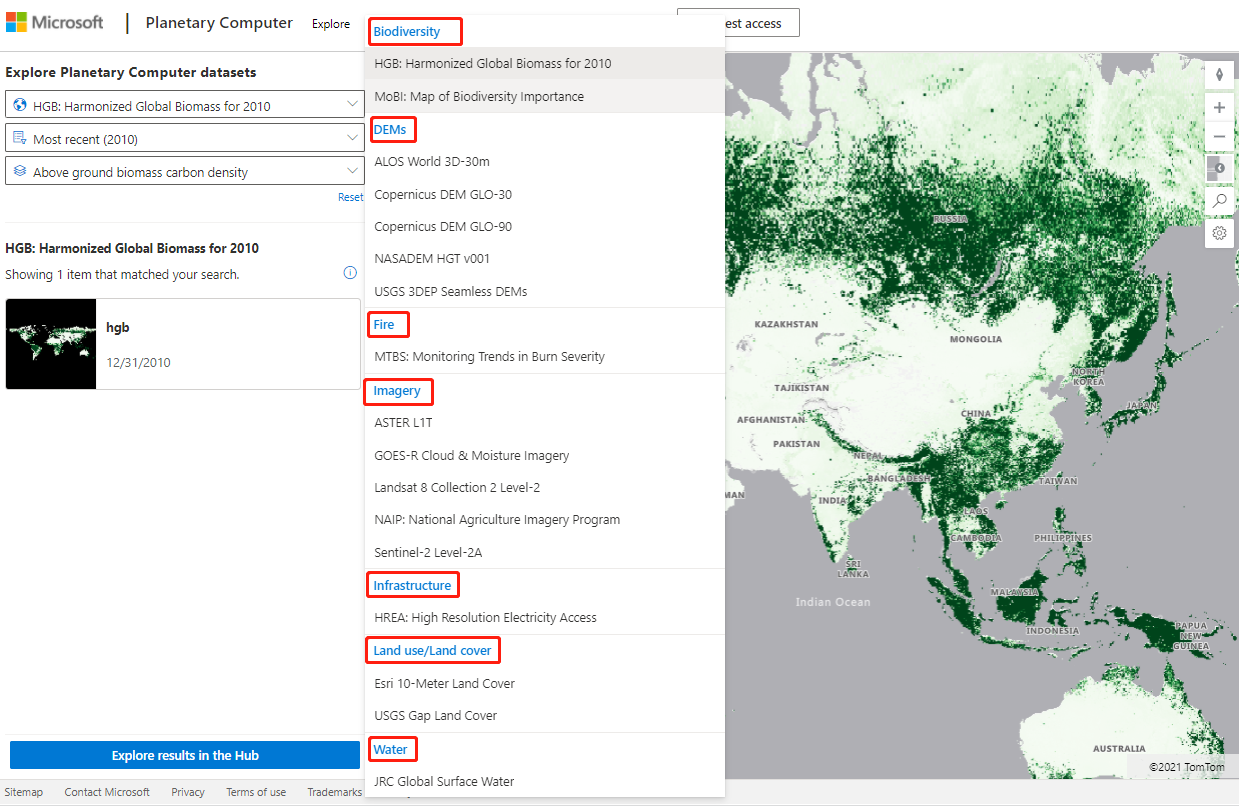
code:
import pystac
import planetary_computer
import rioxarray

item_url = "https://planetarycomputer.microsoft.com/api/stac/v1/collections/hgb/items/hgb"

# Load the individual item metadata and sign the assets
item = pystac.Item.from_file(item_url)
signed_item = planetary_computer.sign(item)

# Open one of the data assets (other asset keys to use: 'belowground', 'aboveground_uncertainty', 'belowground_uncertainty')
asset_href = signed_item.assets["aboveground"].href
ds = rioxarray.open_rasterio(asset_href)
ds
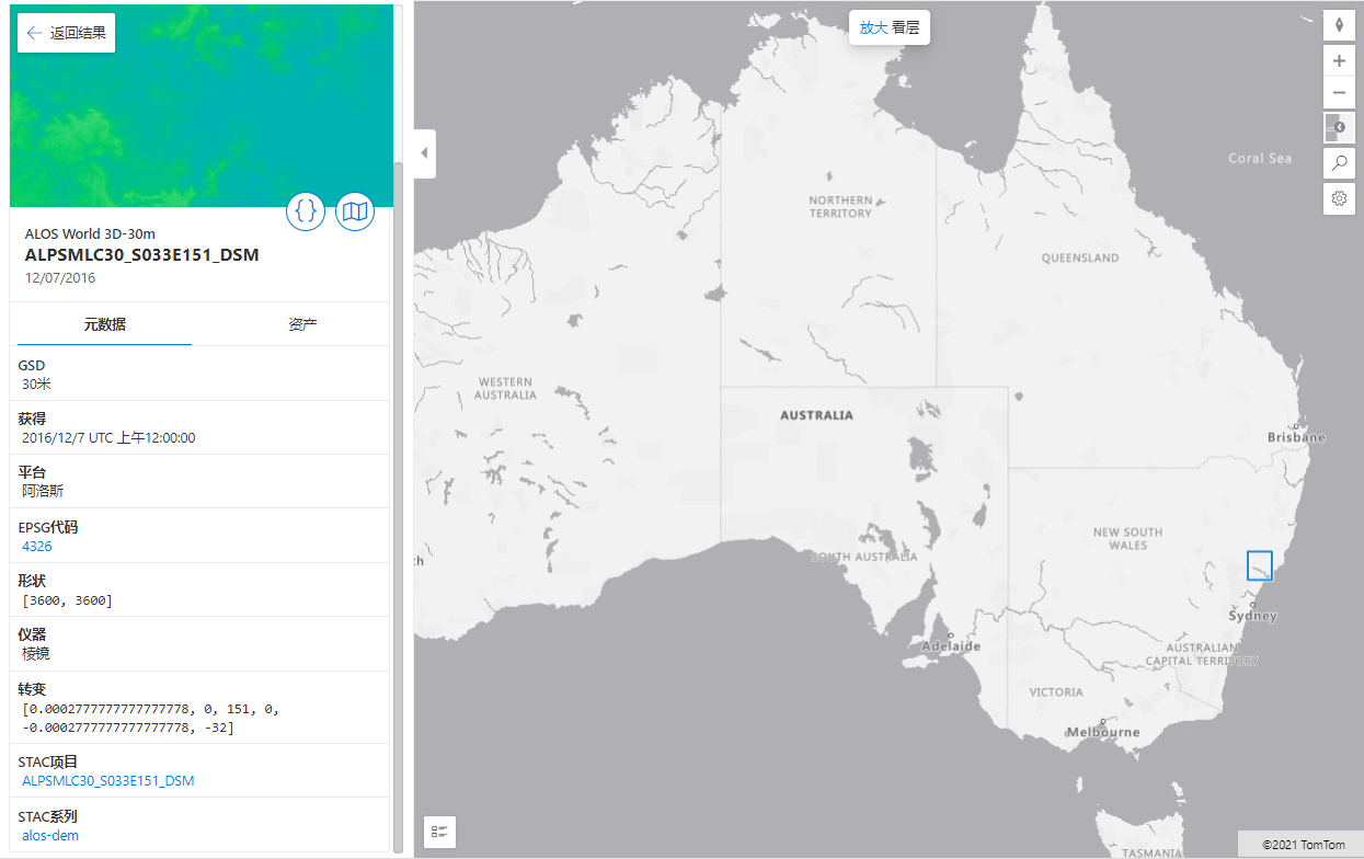
DEM data:
Here are ALOS data (30m), Copernicus (30m/90m), NASA DEM HGT V001 and USGS 3DEP DEM data sets
code:
import pystac
import planetary_computer
import rioxarray

item_url = "https://planetarycomputer.microsoft.com/api/stac/v1/collections/landsat-8-c2-l2/items/LC08_L2SR_049073_20211119_02_T1"

# Load the individual item metadata and sign the assets
item = pystac.Item.from_file(item_url)
signed_item = planetary_computer.sign(item)

# Open one of the data assets (other asset keys to use: 'SR_B2', 'SR_B3', 'SR_B4', 'SR_B5', 'SR_B6', 'SR_B7', 'QA_PIXEL', 'QA_RADSAT', 'SR_QA_AEROSOL')
asset_href = signed_item.assets["SR_B1"].href
ds = rioxarray.open_rasterio(asset_href)
ds
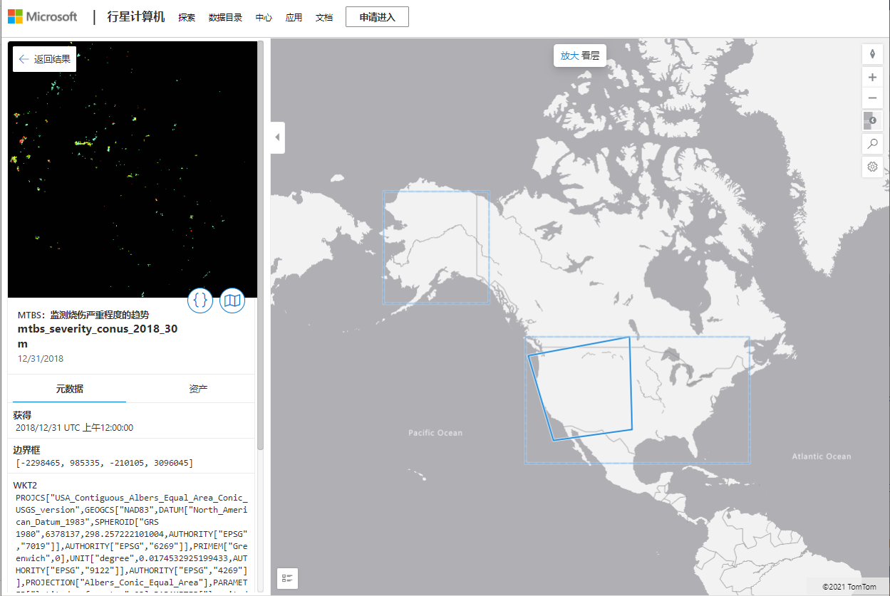
Fire data set
Due to the limitation of data set, only the United States has:
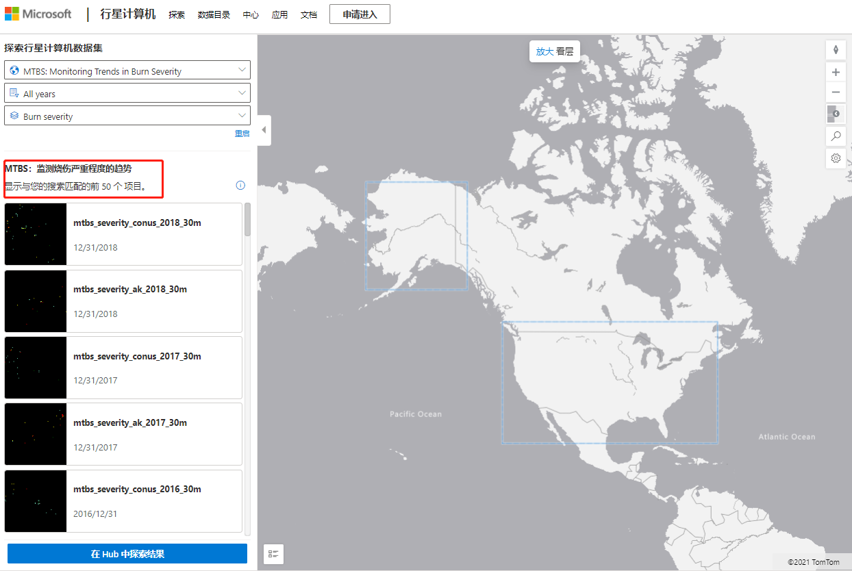
Click the image on the left to see the year and image resolution. After selection, we can see the image location in the large map on the right
import pystac
import planetary_computer
import rioxarray

item_url = "https://planetarycomputer.microsoft.com/api/stac/v1/collections/mtbs/items/mtbs_severity_conus_2017_30m"

# Load the individual item metadata and sign the assets
item = pystac.Item.from_file(item_url)
signed_item = planetary_computer.sign(item)

# Open one of the data assets
asset_href = signed_item.assets["burn-severity"].href
ds = rioxarray.open_rasterio(asset_href)
ds
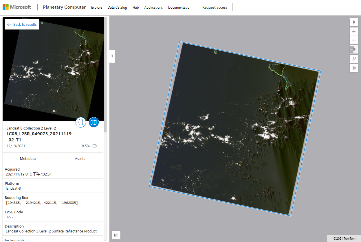
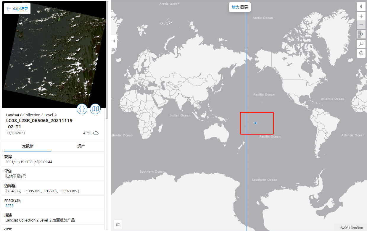
Other image data:
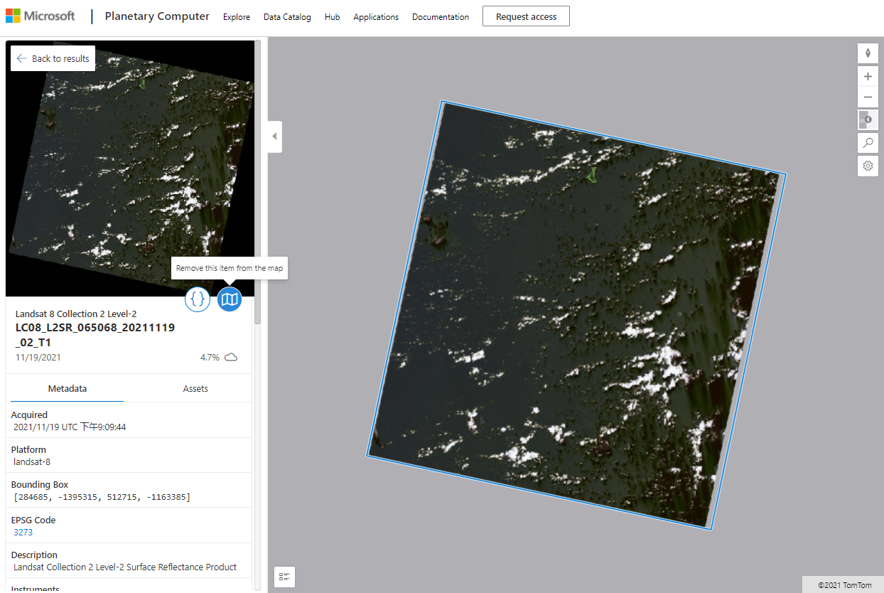
With Landsat data,
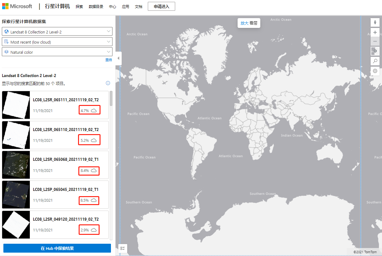
We can see that each image has the percentage of time and cloud cover, which is the most intuitive
Here's the code:
import pystac
import planetary_computer
import rioxarray

item_url = "https://planetarycomputer.microsoft.com/api/stac/v1/collections/landsat-8-c2-l2/items/LC08_L2SR_065068_20211119_02_T1"

# Load the individual item metadata and sign the assets
item = pystac.Item.from_file(item_url)
signed_item = planetary_computer.sign(item)

# Open one of the data assets (other asset keys to use: 'SR_B2', 'SR_B3', 'SR_B4', 'SR_B5', 'SR_B6', 'SR_B7', 'QA_PIXEL', 'QA_RADSAT', 'SR_QA_AEROSOL')
asset_href = signed_item.assets["SR_B1"].href
ds = rioxarray.open_rasterio(asset_href)
ds
You can try it locally:
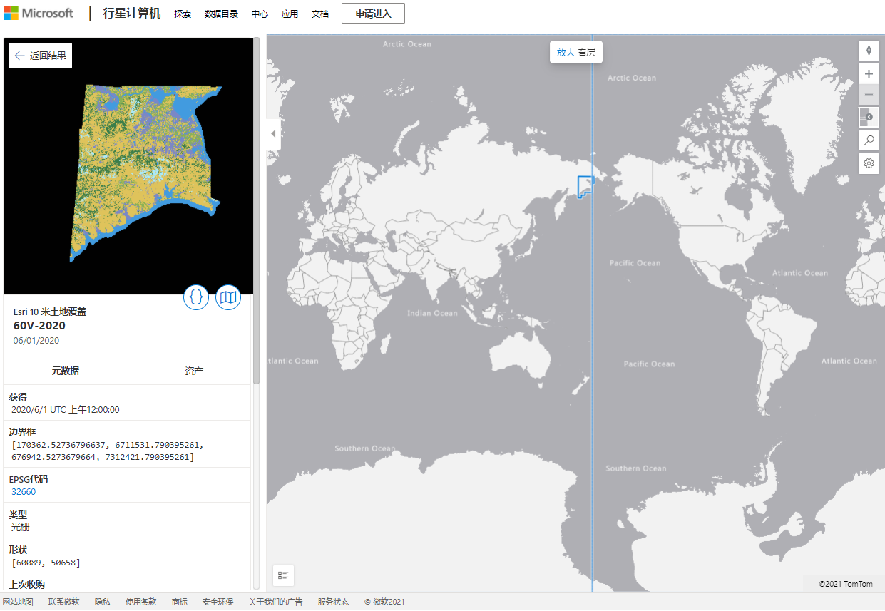
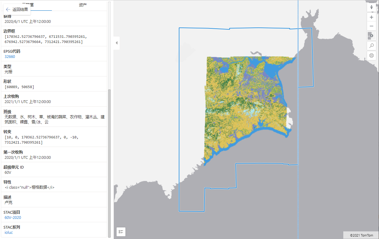
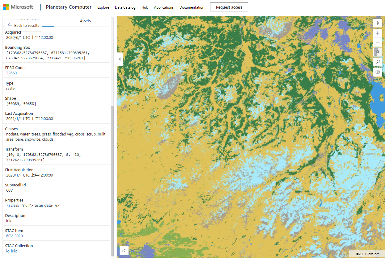
Land use / land classification data
There are two ESRI 10 m resolution data sets and the USGS intermittent land cover data set
code:
import pystac
import planetary_computer
import rioxarray

item_url = "https://planetarycomputer.microsoft.com/api/stac/v1/collections/io-lulc/items/60V-2020"

# Load the individual item metadata and sign the assets
item = pystac.Item.from_file(item_url)
signed_item = planetary_computer.sign(item)

# Open one of the data assets
asset_href = signed_item.assets["data"].href
ds = rioxarray.open_rasterio(asset_href)
ds
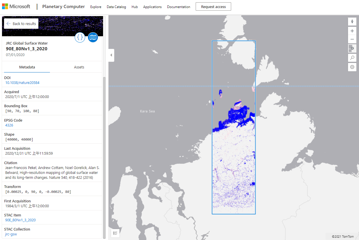
Global surface water data set
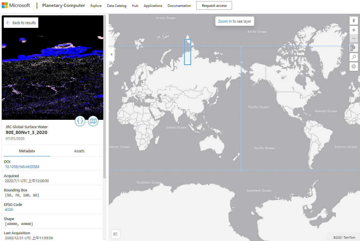
code:
import pystac
import planetary_computer
import rioxarray

item_url = "https://planetarycomputer.microsoft.com/api/stac/v1/collections/jrc-gsw/items/90E_80Nv1_3_2020"

# Load the individual item metadata and sign the assets
item = pystac.Item.from_file(item_url)
signed_item = planetary_computer.sign(item)

# Open one of the data assets (other asset keys to use: 'extent', 'occurrence', 'recurrence', 'seasonality', 'transitions')
asset_href = signed_item.assets["change"].href
ds = rioxarray.open_rasterio(asset_href)
ds
The above is the display of the cloud platform, but the online platform is still not open, but it can be analyzed through python API. If you are interested, you can try it. If you analyze on other platforms, you can see the link:
Microsoft Planetary Computer - PEARL: case analysis of automatic mapping of land classification (AI deep learning (auxiliary training samples and model improvement) online land classification and mapping)_ This star bright blog - CSDN blog(2 News) Microsoft Planetary Computer -- previsa AI intelligent assessment of Amazon rainforest forest damage system in South America_ This star bright blog - CSDN blog (3 messages) Microsoft Planetary Computer - PEARL: introduction to land cover mapping (AI deep learning (auxiliary training samples and model improvement) online land classification and mapping)_ This star bright blog - CSDN blog